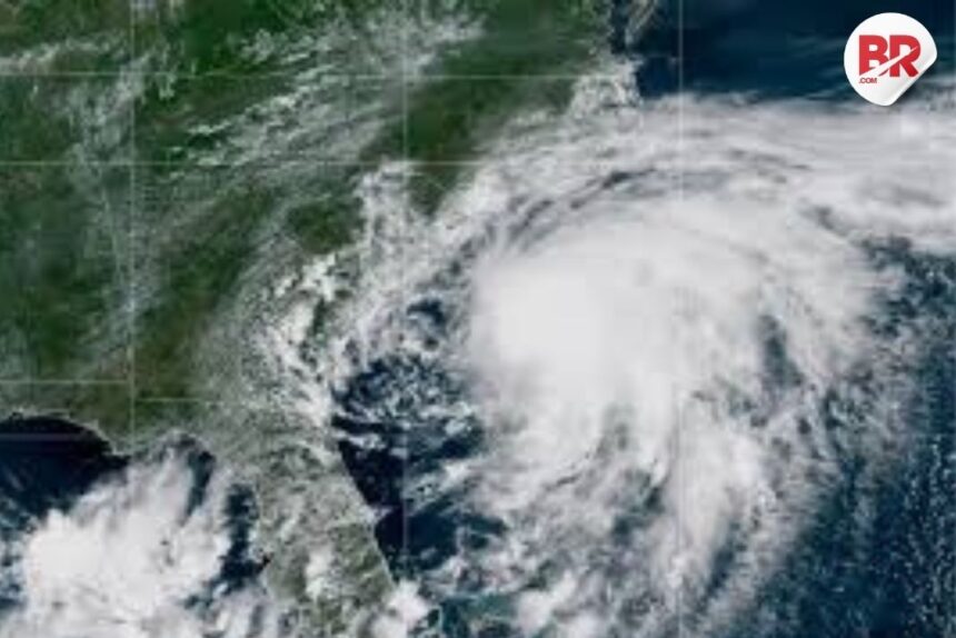
Tropical Storm Chantal has slightly strengthened as it gets closer to the southeastern coast of the U.S., especially near South Carolina and North Carolina. Because of this, weather warnings have been issued in several areas.
Where is the storm now?
As of early Sunday, Chantal was about:

- 75 miles (120 km) east of Charleston, South Carolina
- 85 miles (136 km) southwest of Wilmington, North Carolina
It’s moving north at around 8 mph (13 kph) with winds reaching up to 60 mph (96 kph).
Read more: Japan on Alert as Over 1,000 Earthquakes Hit Tokara Islands — Govt Warns of More Tremors
What to expect?
- Heavy rain is already starting in some coastal areas.
- There’s a risk of flash floods (sudden floods).
- The storm is expected to hit land in South Carolina within a few hours, but it will likely weaken quickly after that.
Rainfall forecast:
- 2 to 4 inches (5 to 10 cm) of rain is expected across North Carolina by Monday.
- Some areas might get up to 6 inches (15 cm) of rain, which can cause localized flooding.
Warnings for residents:
- South Carolina’s emergency team has warned about possible tornadoes near the coast.
- Minor coastal flooding is also possible.
- People are advised not to drive through flooded roads and to follow safety signs and road closures.
Please stay updated with local weather alerts and stay safe if you’re in the affected areas.


